Swan River Floodplain Delineation Study
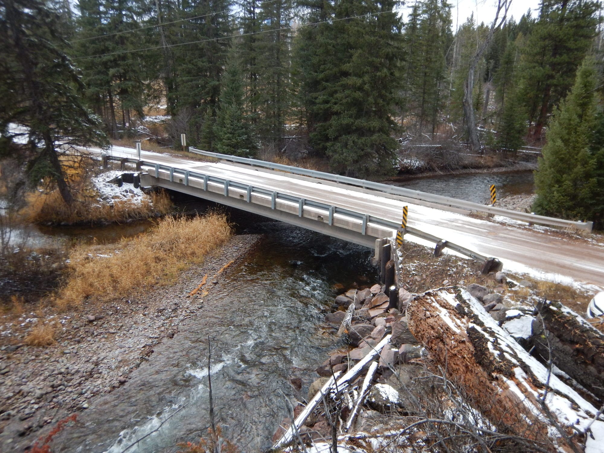
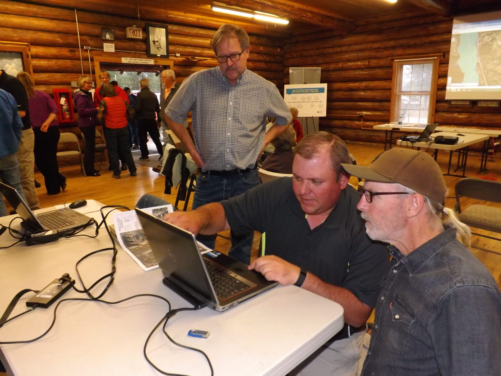
DOWL recently completed the hydraulic evaluation and floodplain mapping tasks for a 19.1-mile reach of Swan River, from Swan Lake to the Missoula County line, for the Montana Department of Natural Resources and Conservation (DNRC). This study replaces an existing Zone A approximate study and included three split flow reaches, seven bridge structures, and one side channel culvert crossing. This detailed study included development of HEC-RAS models, geographic information system development of floodplain and floodway boundaries, development of other Federal Emergency Management Agency (FEMA) riskmap products, assistance with community outreach, and coordination with FEMA, DNRC, and Missoula County.
This study replaces an existing Zone A approximate study and included three split flow reaches, seven bridge structures, and one side channel culvert crossing.
Location
Condon, Montana
Region
Mountain West
Client
Montana Department of Natural Resources
Market
Infrastructure
Services
Drainage and River Systems