Civil and Land Development
Development Dreams Realized
Successful projects require efforts extending beyond routine civil engineering. At DOWL, we understand the need for carefully considered, well-designed plans. Our engineers, planners, and surveyors are not only up-to-date on national design standards, they also have the local expertise and experience necessary to provide practical solutions that are effective in the communities where we live, work, and play.
Practice Lead

Tim Leavitt, PE
971.280.8641
Market Sectors
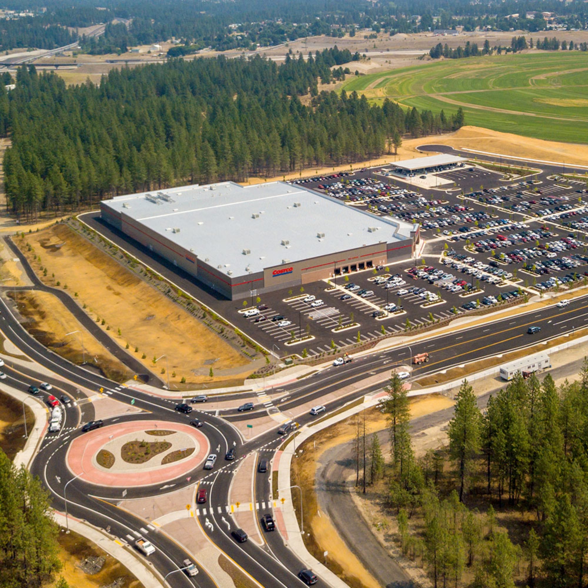
Site Design
DOWL offers a full spectrum of civil engineering services to both public and private clients. We have a strong track record of resolving difficult planning, environmental, and design issues; obtaining funding and permitting; and seeing projects through to successful construction. We work hard to maintain our reputation for providing quality services and personal attention to each of our clients' projects, from beginning to end.
- Site selection evaluation and due diligence
- Site entitlement
- Drainage investigations
- Americans with Disabilities Act (ADA) accessibility design
- Construction cost estimates
- Agency permitting
- Grading permit application packages
- Storm Water Pollution Prevention Plans (SWPPP)
- Dewatering plans/permit applications
- Utility coordination
- Site circulation layout and designs
- Water, sanitary sewer, and storm drainage design
- Public right-of-way (ROW) infrastructure design (roadway, water, sewer, storm drainage)
- Public ROW permitting
- Grading and drainage designs
- Cut/fill earthwork and site balance analysis
- Design and construction scheduling
- Site demolition, layout, grading, and drainage plans
- Fire protection design, including access/hydrant layout
- Retaining wall design
- Pavement design
- Trench drains/foundation drains design
- Utility coordination
- Alternative delivery guidance and management (DB, PDB, CM-GC)
- Engineering services during construction
- Master planned communities

Justin Mason, PE, CWRE
541.385.4772
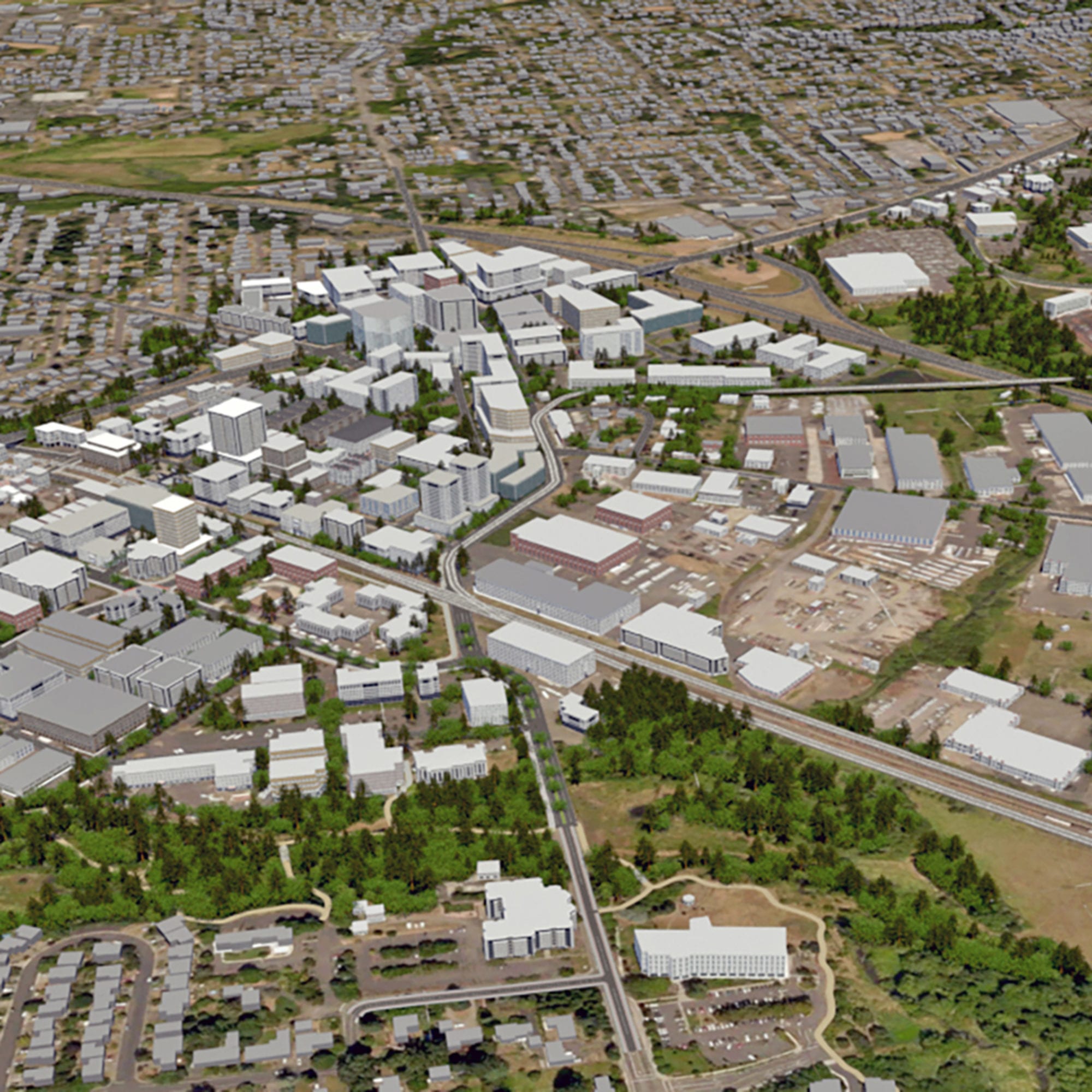
Land Use Planning
The DOWL team includes a talented group of landscape architects and land use planners skilled at identifying land design opportunities and preparing land use plans and permit strategies to help our clients achieve their goals. Our team provides a broad array of expertise including concept-level area master planning, visual simulation services, landscape design, land use permitting, due diligence assessments, and much more.
- Land Use Planning
- Code writing and text amendments
- Code amendments
- Due diligence/site readiness assessments
- Geographic Information Systems (GIS) analysis
- Land use permitting (rezones, annexation, platting, site planning, etc.)
- Master planning/subarea planning
- State Environmental Policy Act (SEPA) compliance
- Environmental planning, analysis, and permitting
- On-call planning services
- Landscape Architecture
- Cost estimating
- Irrigation design
- Landscape planting design
- Master planning
- Park planning and design
- Site planning
- Streetscape design
- Trail planning and design

Read Stapleton, AICP
971.280.8641
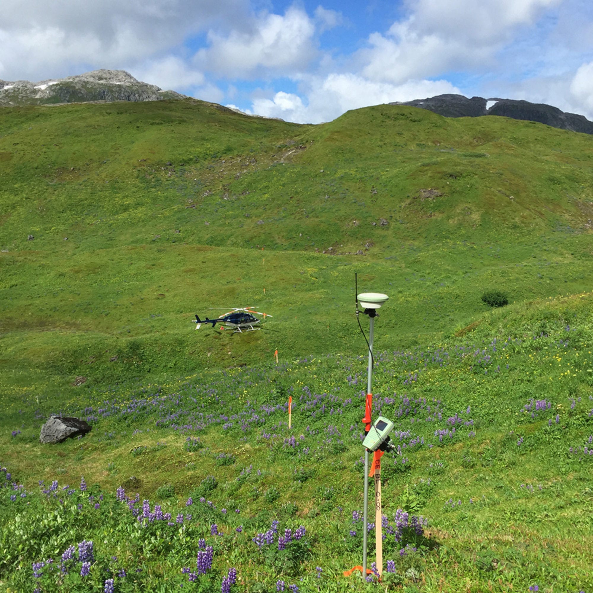
Survey and Geomatics
Our surveyors are skilled in completing a broad range of projects, from a single sidewalk ramp to 200-mile-long corridors. Our priority is to identify potential problems early so design teams and contractors can make necessary adjustments and keep projects on track.
- Survey and Mapping
- Aeronautical surveys
- Alta surveys
- As-built surveys
- Boundary surveying
- Construction staking
- Design surveys
- Global Positioning System (GPS) surveys
- Hydrographic and bathymetric surveys
- LiDAR mapping (UAV)
- Platting, parcel maps, and legal descriptions
- Quality control and monitoring
- Remote sensing
- Right-of-way (ROW) surveying and mapping
- Scanning and modeling
- UAV photogrammetric aerial mapping
- Utility surveys
- Warehouse automation layout
- Geographic Information Systems (GIS)
- 3-D analysis and presentation
- Cartographic layout and production
- Database generation and population
- GIS analysis
- Vector data extraction

Willie Stoll, PLS, CFedS
907.562.2000